NOAA
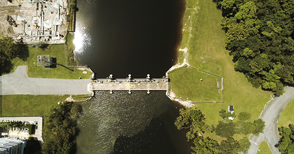
Why King Tides Flood Streets Without a Single Storm
Twice a year, the moon and sun line up to push ordinary high tides over seawalls with no storm in sight, and South Florida just published exactly when it happens next.
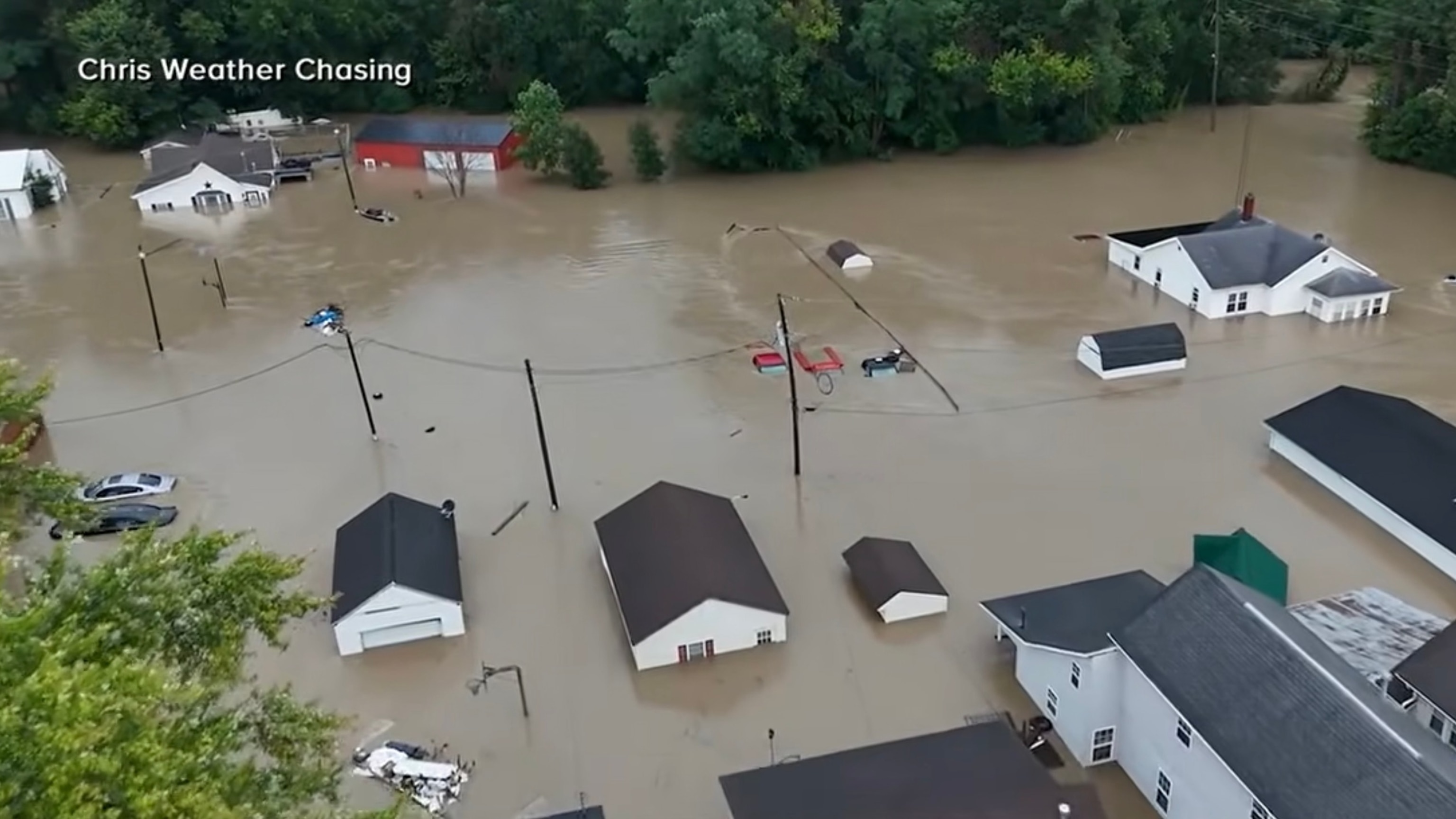
Indiana's Flood Was a 1-in-1,000-Year Storm the Drains Couldn't Handle
Record rain overwhelmed small-town Indiana this month. The bigger story is a stormwater system that earned a D on its last national report card, and a $115 billion repair bill nobody's paying.
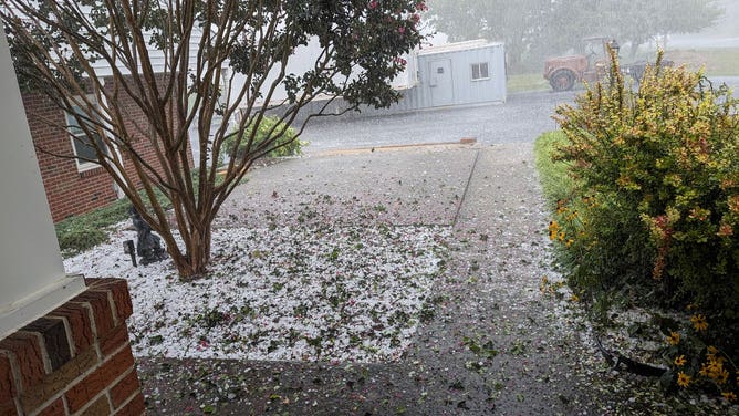
Graupel vs. Hail: The Difference Is in How Cold It Got
It looks like hail and sounds like hail — but squeeze it, and graupel crumbles like styrofoam because it forms almost the opposite way.
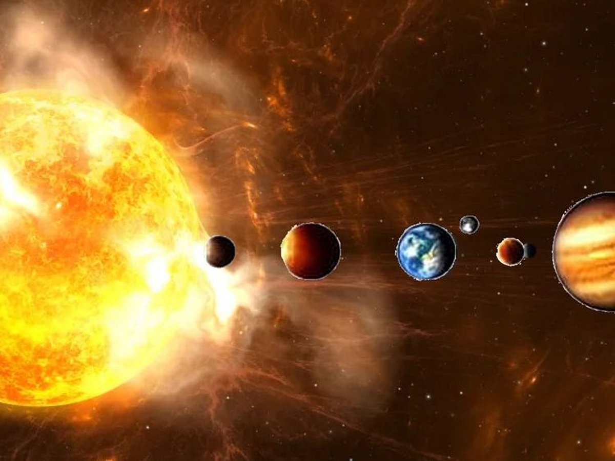
Why Solar Storms Can Throw Your GPS Off by Yards
A burst of radiation from the sun can scramble the atmosphere GPS signals pass through — in 2024, it sent tractors and ships drifting off course.

Why Do Hurricanes Stall Over Land? The Science, Explained
When a hurricane's steering winds collapse, the storm can sit in place for days, turning a wind event into a flood catastrophe. Here's why it happens.
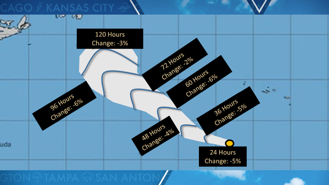
The Hurricane Cone Doesn't Show a Storm's Size
Most people assume the white cone on a hurricane graphic shows where the damage will land. It doesn't, and that mix-up has already cost lives.

Why a Hurricane's Category Number Ignores Your Flood Risk
The number the National Hurricane Center assigns a storm measures wind, and only wind. History's deadliest hurricanes prove that isn't the same as knowing how dangerous one will be.

Why Thunder Cracks Up Close but Rumbles From Far Away
A single lightning bolt can sound like a sharp crack in one spot and a rolling rumble a few miles away, and the split comes down to how far its miles-long channel is from your ear.
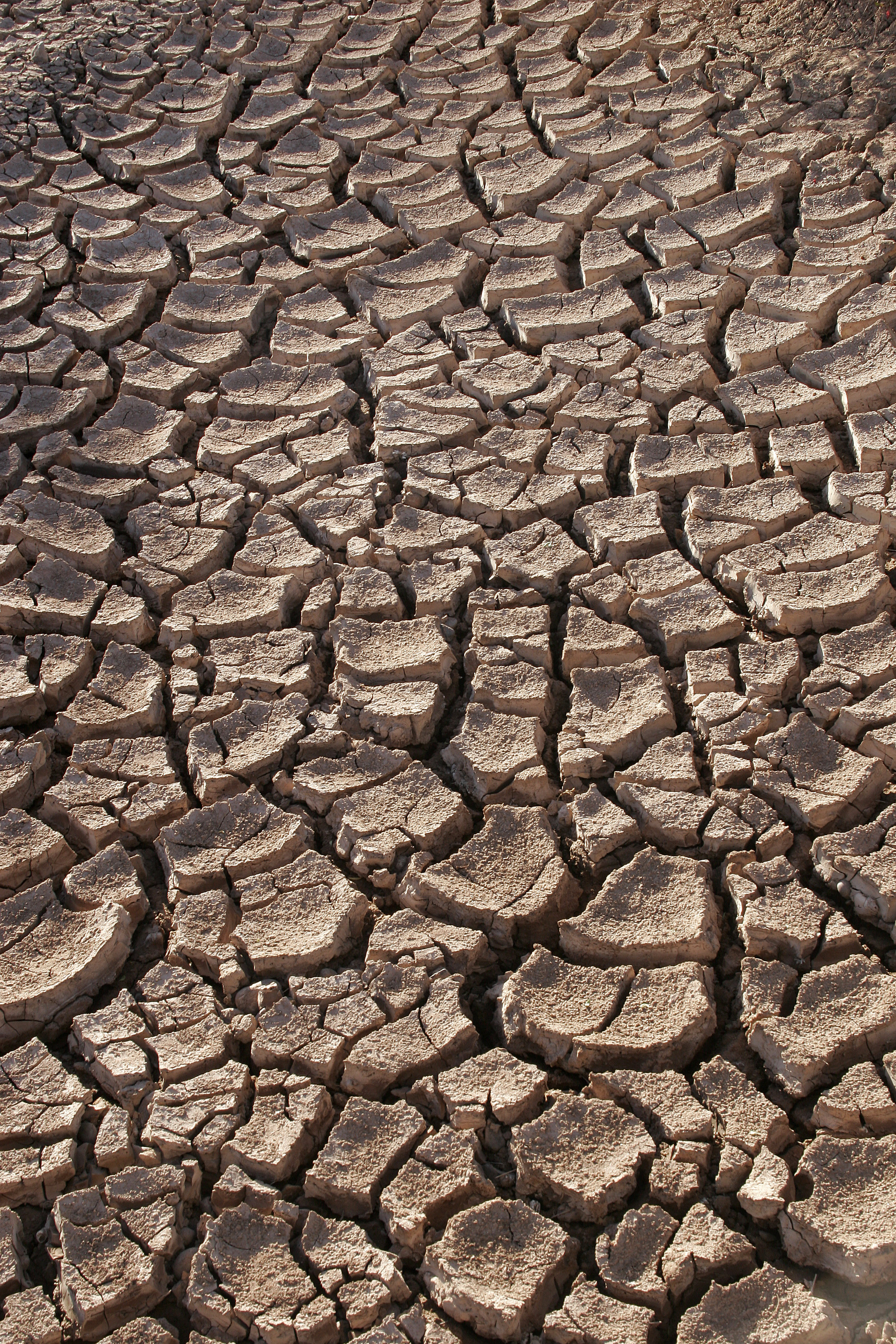
What Is a Flash Drought? The Dry Spell That Outruns the Forecast
A flash drought can turn a healthy field into a stressed one within days, driven by heat and wind rather than a lack of rain. Farmers and forecasters are racing to catch up.

Magnetic North vs. True North: Why Your Compass Lies
Your compass isn't pointing at the North Pole. It's pointing at a wandering magnetic point currently 1,200 miles away and drifting toward Siberia.

Why a Strengthening El Nino Points to a Quieter 2026 Hurricane Season
NOAA gives the 2026 Atlantic season a 55% chance of running below normal, largely because of a strengthening El Nino. The forecast comes with an explicit caveat: it only takes one storm.

What Is a Heat Dome, and Why Is It So Dangerous?
A heat dome is the stalled high-pressure lid behind record-breaking heat waves. Here is how it forms, why humidity makes it deadly, and how long it lasts.

Sun’s Strongest Flare in Weeks Could Push Aurora South Friday
NOAA’s Space Weather Prediction Center has issued a G2 geomagnetic storm watch for July 3 after the sun’s biggest flare of the week triggered radio blackouts across North America.
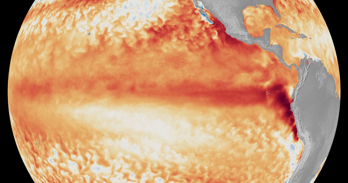
NOAA Declares El Niño and Puts 63% Odds on a 'Very Strong' Event
The Pacific has flipped into its warm phase, and the agency’s new measuring stick says this one could be big. Here is what an El Niño winter usually brings.